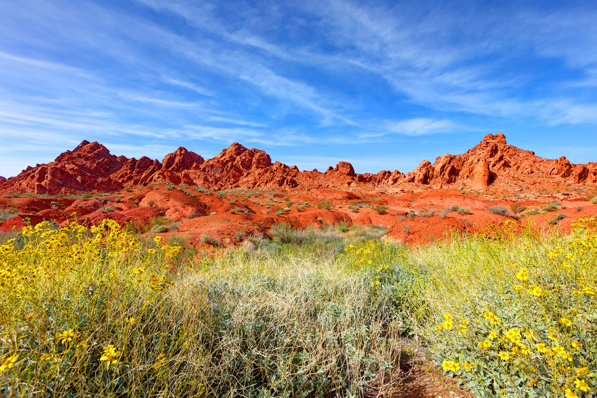
April 15th 5:30 pm - Red Hill, Reno. A short mid- week trip to Red Hills to see early spring flowers on the slopes of altered andesite. Our Leaders for this trip will be Rose Strickland and Dennis Ghiglieri. The destination is on the west end of Dandini Road in north Reno directions are in the following link https://goo.gl/maps/veoyMSzMWx22 We will meet in the gravel parking lot just northeast of the roundabout. Contact rosenreno@sbcglobal.net (775) 329-6118 dnnevada@sbcglobal.net. Delayed due to muddy conditions.
April 23rd - Peavine Mountain, Reno. Trip to summit of Peavine Mountain to see Claytonia umbellatum. This tiny succulent grows in the sharp broken basalt scree veins near the summit blooming just as the snow leaves. Our leader for this trip will be John Weiser.
May 5th - 7:00 pm - Moana Nursery, Reno. We have been invited to attend a presentation sponsored by the Orchid Society of Northern Nevada at Moana Nursery Landscape and Design Center located at 1100 W Moana Ln, Reno, NV (NW corner of parking lot). The talk will be an overview of orchid species native to the Sierra Nevada Range.
May 12th - 6:30 pm Wilbur D. May Museum, Reno, NV. Nevada Bugs and Butterflies and the UNR Museum of Natural History are sponsoring a talk entitled "Getting to Know the Bees in your Backyard" by Dr. Joseph Wilson. Dr. Wilson is an assistant professor of biology at Utah State University and author of the newly published (and beautiful) book The bees in your backyard: A guide to North America's bees. Copies of the book will be for sale and Dr. Wilson will be signing books following the talk. Located at the Wilbur D. May Museum which is inside Rancho San Rafael Park at 1596 North Sierra St., Reno. Please visit http://nevadabugs.org/ for more informaton.
May 14th - Schurz, NV. Search for Grusonia pulchella south of Fallon near the little town of Schurz, NV.
The majority of this cactus’s range is through central Nevada. Grusonia pulchella differs from other North American opuntioid cacti in having a geophytic habit, where above-ground growth dies back to the crown in adverse conditions, and resprouts under more favorable conditions. Authors have described the underground storage structure as a "tuberous root". These tubers can be rather large, twice the size of a soft ball with thick tap roots running off in different directions The flowers are bright magenta/pink with a single layer of petals with a crepe like texture.
For those leaving from Reno meet at the Doughboy’s Donuts shop located in the South Town Shopping Center at 57 Damonte Ranch Parkway by 8:00 am.
We will meet Carson City area members at the Save Mart at 3620 N. Carson St. located at the intersection of West College Parkway and north Carson Street, departing for Schurz at
9:00 am. https://goo.gl/maps/Z6tndvKjUk52
Bring water, lunch and be prepared for any kind of weather.
May 21st – Fallon Area Field trip to see Penstemon arenarius (Nevada sanddune beardtongue)
Penstemon arenarius an endemic found only in Nevada. We will be traveling to the sagebrush steppe northeast of Fallon and travel on backroads toward the south. With the moisture we have had, this should be a great year for steppe flowers. Our leader will be Gary Monroe.
Bring water, lunch and be prepared for any kind of weather.
Those coming from Carson City should meet at the Save Mart at 3620 N. Carson St. Located at the intersection of West College Parkway and north Carson Street. At 8:00 am.
https://goo.gl/maps/4dwgA6GbEcK2
If coming from Reno, leave from the west parking lot at the Sparks Marina located at 300 Howard Drive, at 9:00 am.
The two groups will meet at the Fallon Rest Area located north of Fallon at the Junction of U.S. 95 and I-80 by 10:15am.
The trip will end at Brady’s Hot Springs. Those from Fallon might want to retrace their steps back to US 95. The road from US 95 is dirt and gravel, but it should be usable by sedans. A high clearance vehicle might be advisable as there may be places where water is across the road with the rain we have been having this year
May 29th - Silver Springs, NV. Trip to Churchill Narrows to see Eriogonum diatomaceum our leaders for this trip will be John Weiser and Gary Monroe. This Eriogonum is a rare endemic restricted to the diatomaceous deposits of the Churchill Narrows area in Lyon County, NV. There are many other interesting plants to see growing on these unique soils.
For those leaving from Reno meet at the Doughboy’s Donuts shop located in the South Town Shopping Center at 57 Damonte Ranch Parkway by 8:00 am. We will meet Carson City area members at the Save Mart at 3620 N. Carson St. located at the intersection of West College Parkway and north Carson Street, departing for Chuchill Narrows at 9:00 am
Sunflower Flat is located in Elko County on the Mountain City Ranger District north of Wild Horse Reservoir. There are several rare plants species found in this area including meadow pussytoes, Owyhee sagebrush, least Phacelia, and Sunflower Flat buckwheat.
There are three camping options and one lodging option.
-Dispersed camping is allowed up to 16 days per site on Forest Service land. No amenities, no fees, please use pre-existing campsites within 100 feet of a road and more than 100 feet from water.
-The nearest campground is at Big Bend campground, which can accommodate tents and small trailers/campers. There are pit toilets and picnic tables, no water available, $8 per night. This campground will be our meeting spot and we will leave announcements about our planned activities here.
-Wild Horse State Park is about 35 minutes south at Wild Horse Reservoir. It can accommodate large RVs, offers toilets and showers, and is $14 per night.
-Dunn’s Wild Horse Ranch and Resort is about 45 minutes south and offers rooms, an RV park, restaurant, convenience store, and gas. Call 775-758-6472 for reservations. More lodging and dining options are available in Mountain City, about an hour west of Big Bend.
The main roads in the area of Sunflower Flat are dirt and gravel, easily navigated by Subarus and mid-clearance vehicles. Some of the side trips may require higher clearance vehicles. A Forest Service District map is highly recommended to reference road numbers for navigation.
Janel will be working in the area from the afternoon of June 9th until the morning of June 12th, check at Big Bend campground for daily activities. Meet at Big Bend Campground at 8 am each morning to discuss sites to visit during the day.
Map Link: https://drive.google.com/open?id=1-f34WXvgPG2Oehnz7o9B4WC14Wg&usp=sharing
Contact Janel Johnson if you have questions: jdjohnson@heritage.nv.gov, 775-684-2911.
July 30th - Squaw Valley, California 10:40am-2pm/6pm. WILDFLOWER HIKE AT SQUAW VALLEY HIGH CAMP AND OPTIONAL SHIRLEY CANYON TRAIL Joint venture of Tahoe Institute of Natural Science and Nevada Native Plant Society – Public attendance welcome
Trip leader: Tom Schuster (Dipl.-Ing.)
This trip will focus primarily on wildflowers but may also include some observations of birds, insects and mammals. Hopefully we will encounter the following in bloom: Buckwheats, Beardtongues, Jewelflowers, Monkeyflowers, Columbines, Orchids, Monkshoods, Lilies, Lupines, Paintbrushes, Larkspurs, Ferns and many more. This shall be a magnificent day!
Meet at the tram lobby at 10.15am to catch the first tram at 10:40am (Park at the main parking lot of the Village at Squaw Valley). Tram cost: $44; $10 discount for anyone purchasing their ticket at a minimum of 24 hours in advance online directly through the following Squaw’s website:
https://store.squawalpine.com/eStore/Content/Commerce/Products/DisplayProducts.aspx?ProductGroupCode=8&ProductCategoryCode=579
(Please make sure to obtain tickets in time to not jeopardize your ride of the first tram.)
Those traveling from the Reno/Carson area should meet in North West Reno at
the IHOP parking lot at the corner of I-80 and West McCarran at 9:15 a.m. sharp to
carpool – carpool with people with the same interest in trip choice!
Hike details:
First part: Our starting point will be High Camp (Elev.: 8,200’) from where we will hike and explore the gentle trail of the High Camp Loop. Approximately 1.3miles round trip. This part of the hike will be easy to moderate and probably will last 2 hours. This should be lots of fun seeing many flowers without a great effort to get to a high elevation and great views.
Subsequent lunch around High Camp (starting point). Attendees who do not want to / cannot hike down the Shirley Canyon Trail can opt to end their trip at this time, sign out and descend via tram.
Second part: From High Camp we will descend (via a short section of Solitude Trail) the Shirley Canyon Trail. Elev. loss 2,100‘; length 3.6miles. This part of the trip is very well-known for its abundance and diversity of habitats and wildflowers, spectacular granite boulders and waterfalls. However, we will traverse some technical steep granite boulder and rock areas (see below hiking equipment). Assumed duration for this part approximately 4 hours. Since descending is faster/easier than ascending I believe we have more time to focus on wildflowers than breathing. J
Bring sufficient water and food (depending on your choice of parts of trip), sunscreen, good hiking boots (and maybe walking sticks) and your favorite wildflower guide, hand lenses, binoculars and dress appropriately for alpine hiking in general.
I would be thrilled to have you join me on this trip.
Further general information: http://squawalpine.com/
Check our websites before trip date in case of cancellations due to inclement mountain weather!
Trip leader: Tom Schuster (Dipl.-Ing), tom-mail@sbcglobal.net / (775) 247-9312.
Additional contacts: John Weiser, johnpweiser@yahoo.com, (775)-331-4485 and T. Will Richardson, Ph.D., will@tinsweb.org, (530)-587-6895.
Those traveling from the Carson area should meet at the Save Mart at the corner of College and Carson Streets, in Carson City at7:45 a.m. to carpool. Our final meeting place will be at the McDonalds Restaurant parking lot located at 5148 Mae Anne Ave, Reno NV. at 8:30 a.m. Exit I 80 at the intersection with West Macarran Blvd. turning right. You will be traveling north toward Mae Anne Ave. You will see the golden arches on the left before you reach the intersection with Mae Anne.
https://goo.gl/maps/88T3foe2sQM2